INFORMAZIONI SUL TRATTAMENTO DEI DATI PERSONALI
ai sensi dell’art. 13 del Reg. UE 2016/679 “GDPR”
La newsletter di Daily Nautica è distribuita in automatico e via e-mail a quanti fanno richiesta di riceverla compilando il modulo presente in questa pagina.
Titolare del trattamento
Titolare del trattamento dei dati è Carmolab di Claudio Carmosino & C. S.a.s., con sede legale in Genova, piazza Rossetti n. 4/2, P.IVA 01784640995 e può essere contattato all’indirizzo postale indicato o all’indirizzo e-mail info@dailynautica.com.
Oggetto e finalità del trattamento
Il Titolare tratta soltanto l’indirizzo e-mail del destinatario, con la sola finalità di inviare la newsletter.
La base giuridica è la richiesta avanzata dal destinatario con la compilazione del modulo presente in questa pagina.
Non sono trattati dati rientranti tra quelli che gli articoli 9 e 10 del Reg. UE 2016/679 definiscono come “categorie particolari di dati personali”, e cioè dati personali che rilevino l’origine razziale o etnica, le opinioni politiche, le convinzioni filosofiche o religiose, l’appartenenza sindacale, dati genetici o biometrici, dati relativi alla salute o alla vita sessuale o all’orientamento sessuale della persona, dati giudiziari o relativi a reati o misure di sicurezza.
Conferimento dei dati
Il conferimento dei dati avviene su base volontaria da parte dell’interessato che intenda chiedere l’invio della newsletter, ma l’eventuale rifiuto avrà come conseguenza l’impossibilità di ricevere il servizio richiesto.
Modalità del trattamento
I dati forniti saranno utilizzati con strumenti informatici e telematici al solo fine di fornire il servizio richiesto e, per tale ragione, saranno conservati esclusivamente per il periodo in cui lo stesso sarà attivo.
Non è adottato alcun processo decisionale automatizzato, come ad esempio la profilazione.
Destinatari dei dati
I server ove vengono conservati i dati si trovano in Italia ed i dati non saranno soggetti a diffusione o a trasferimento verso Paesi extra-UE o organizzazioni internazionali, ma potranno essere comunicati a soggetti che assistono il Titolare, ad esempio per esigenze di manutenzione tecnologica del sito.
Diritti dell’interessato
In ogni momento, l’interessato potrà esercitare, ai sensi degli articoli dal 15 al 22 del Regolamento UE n. 2016/679, il diritto di:
- chiedere la conferma dell’esistenza o meno dei propri dati personali e l’accesso agli stessi;
- ottenere le indicazioni circa le finalità del trattamento, le categorie dei dati personali, i destinatari o le categorie di destinatari a cui i dati personali sono stati o saranno comunicati e, quando possibile, il periodo di conservazione;
- chiedere al titolare la rettifica o la cancellazione dei dati trattati, la limitazione del trattamento dei dati che lo riguardano o la portabilità degli stessi;
- opporsi al trattamento in qualsiasi momento ed anche nel caso di trattamento per finalità di marketing diretto;
- revocare il consenso in qualsiasi momento senza pregiudicare la liceità del trattamento basata sul consenso prestato prima della revoca;
- proporre reclamo a un’autorità di controllo, che in Italia è l’Autorità Garante per la protezione dei dati personali (all’indirizzo email garante@gpdp.it, al numero di fax 06.696773785 o a mezzo posta all’indirizzo piazza di Monte Citorio n. 121 – 00186 Roma).
Può esercitare i Suoi diritti con contattando il Titolare all’indirizzo postale sopra indicato oppure utilizzando l’indirizzo e-mail info@dailynautica.com.

 Technology & Accessories
 Shows & events
 Mega yacht
 Design
 Design
 Boating Marketplace
 Sailing

 At the Bottom of the Sea
 Rose Island
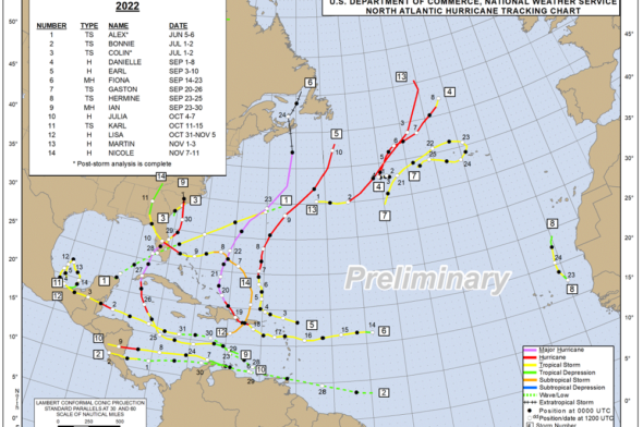
 Weather forecast


 Tales from the Sea